
Saratoga Street Directory From Address to Deed
A Saratoga street-by-street search has to separate land, title, and people. An address can point to a parcel, while the parcel can point to an assessee or title party without proving who sleeps there. The most reliable Saratoga sequence moves from the physical Saratoga address to an APN, then through the county title trail and the limited voter route.
- Search the Saratoga physical address in the Santa Clara County Assessor Real Property Search. Record the APN, situs, latest document reference, assessment facts, and exemptions.
- Enter the Saratoga address or APN in the Saratoga GIS viewer. Check the parcel popup, nearby parcels, land use, zoning, and hazard layers.
- For Saratoga, follow the owner or assessee route only where an official channel permits it. The Assessor office terminal can show owner data, and the GIS notification tool can export selected assessee, mailing, situs, and APN fields.
- Take the Saratoga APN and latest title-changing document to the Santa Clara County Recorder. Open the instrument, note the grantor, grantee, and legal description, then search the seller as an earlier grantee.
- Use Saratoga voter information only within its limits. My Voter Status is an authenticated self-lookup, not a street list. For older household clues, add a library newspaper, yearbook, or verified criss-cross source.
This Saratoga order keeps an owner clue from becoming an occupancy claim. It also leaves a clear trail when a source is unavailable, sealed, office-only, or limited to an authorized request.
Assessor Fields in a Saratoga Street Search
The Saratoga search at the Assessor offers Simple Address Search, Advanced Address Search, and APN Search after the Terms and Conditions checkbox is accepted. Use the property’s physical city, not the city printed on a Saratoga mailing label. The Saratoga web result supplies parcel and assessment facts, but it does not display the owner or assessee name or the mailing address. Owner data and prior assessment years can instead be inspected at the office terminal, 70 West Hedding Street, East Wing, Fifth Floor, San Jose, Monday-Friday 8-4.
The Santa Clara County Assessor search tips show the field layout used for a Saratoga street directory lookup.
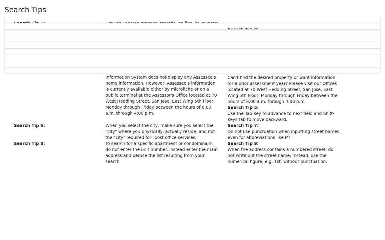
The Saratoga format rules matter when a street name has a number or a unit. For a Saratoga condominium or apartment, the official tip suggests omitting the unit and browsing the result set.
| Field | Type | Required | Format or use |
|---|---|---|---|
| Property address | Text | Mode-dependent | Simple search for the physical situs. |
| Street Number | Text | No | Advanced search; use at least one character when entered. |
| Street Direction | Dropdown | No | Choose the supplied direction when needed. |
| Street Name | Text | Yes | No punctuation; numbered streets use forms such as 1st. |
| Street Type | Dropdown | No | Choose the suffix when it narrows the match. |
| Unit | Text | No | Omit first when browsing multi-unit results. |
| City | Dropdown | Yes | Physical city, not postal city. |
| APN Number | Text | APN mode | 12345678 or 123-45-678. |
| Terms and Conditions | Checkbox | Yes | Accept before selecting Search. |
Saratoga GIS and the 300-Foot Street List
The Saratoga Public GIS Viewer searches an address or APN and opens a Saratoga parcel popup with APN label, situs address, city, state, ZIP, zoning, land use, and land-use description. Its Saratoga layers add streets, limits, general-plan use, fire hazard, flood panels, faults, liquefaction, lighting districts, and historic sites. The official GIS application configuration documents the search and map tools behind the viewer.
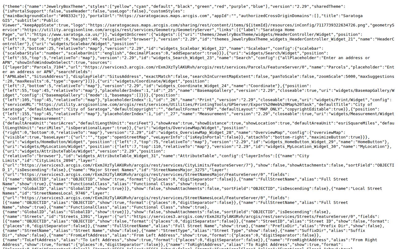
The Saratoga parcel map turns an address into a shape that can be compared with adjacent parcels. It is useful for checking land context, not for naming every person connected to a block.
Saratoga’s Public Notification and Mailing List tool starts with a 300-foot buffer. A Saratoga selection can be changed to feet, yards, meters, kilometers, or miles, or drawn as a point, line, polyline, polygon, or freehand polygon. Review can produce a CSV or several PDF and mailing-label layouts. Saratoga exports include owner or assessee, co-owner or in-care-of, mailing address, situs components, and APN.
Saratoga’s Neighborhood Watch resources show the civic setting around block-level work.
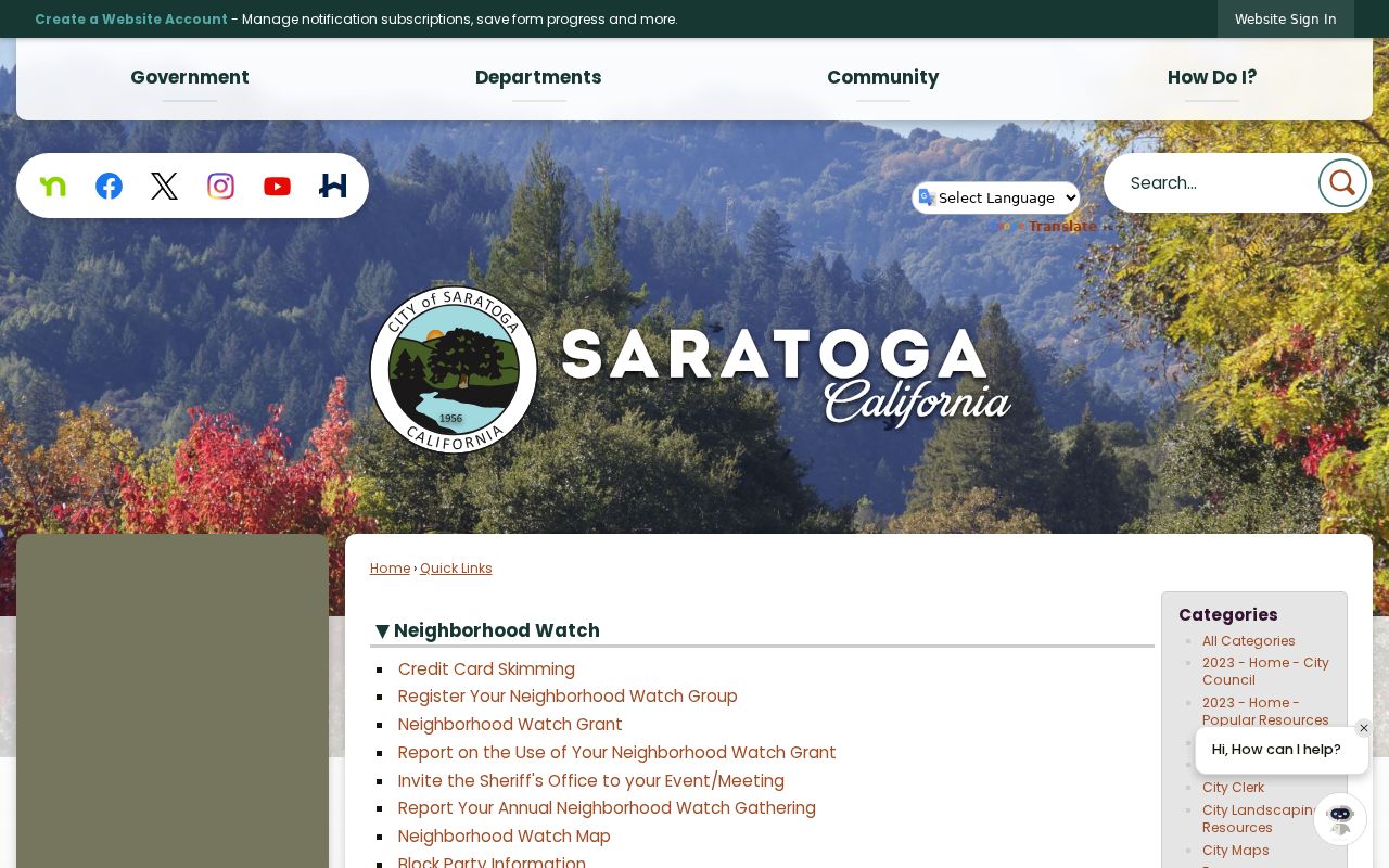
A notification export is an ownership and mailing layer. It is not a household roster, and a mailing address may differ from the parcel’s physical situs.
Saratoga Street Records Across Five Sources
Each Saratoga address-keyed source answers a narrow question. The Saratoga table keeps the access route and the evidentiary limit beside the useful field, which is safer than treating every match as a resident record.
| Record route | Keeper and channel | Address clue | Access boundary |
|---|---|---|---|
| Saratoga property result | Santa Clara County Assessor web search | APN, situs, values, characteristics, exemption, latest document | Owner and mailing fields hidden online. |
| Saratoga parcel map | City of Saratoga GIS viewer | Parcel shape, land use, zoning, hazards, service layers | Basic popup does not name occupants. |
| Saratoga notification export | GIS Public Notification tool | Selected assessee, mailing, situs, and APN fields | Selected parcel owners, not a home roster. |
| Saratoga recorded instrument | Santa Clara County Clerk-Recorder research room | Grantor, grantee, date, type, legal description | Recorder index is not address-searchable online. |
| Saratoga permit trail | Saratoga eTRAKiT, kiosk, or request | Project, applicant, status, documents, inspections | Permit parties do not prove occupancy. |
| Saratoga heritage file | City address-indexed evaluation PDFs | Historic use, ownership or architecture context | Selected historic resources, not every parcel. |
| Saratoga voter route | My Voter Status or authorized ROV channel | Authenticated status and district information | No ordinary street browse; confidential voters withheld. |
| Saratoga historical clue | Saratoga Library newspapers, yearbooks, and directories | Past names, addresses, events, and relationships | Verify dates and identity across sources. |
The Saratoga APN is the bridge between the Assessor, GIS, permits, and deeds. A Saratoga street name links the map and local history material, but the same name can cross postal, city, and former county boundaries.
Saratoga Deed Records From APN to Chain
Santa Clara County recorded official documents from 1850 forward, but its public Online Official Record Index was removed on November 5, 2018. There is no public web grantor-grantee index to search by a Saratoga address. Saratoga title research takes place at 110 West Tasman Drive in San Jose: Digital Reel covers 1850-1980, and public workstations cover 1981-present. The Recorder does not perform title searches.
Start with the latest document. The Assessor’s APN and latest title-changing document reference give the Saratoga Recorder researcher a workable entry point when an address will not.
For Saratoga, open the latest instrument, copy the parties and legal description, and search the seller as an earlier grantee. Before May 1, 1995, book and page may replace the modern document number. A researcher using books or microfiche may need identification, and the office can impose a one-hour workstation limit when busy. Saratoga copies require a document number, or book and page for older records. Plain copies cost $4 for the first page and $2 for each additional page; certification adds $2. Copies are not sold online or emailed. Paid daily, weekly, monthly, and yearly TIF image and grantor-grantee data subscriptions are also documented, but the public workstation is the practical route for one address.
- Parcel
- A mapped unit of land identified by an APN and a legal description.
- Situs address
- The physical location of the parcel, distinct from the mailing address used for tax notices.
- Plat
- A recorded map that connects a subdivision or tract to lots, blocks, and streets.
- Criss-cross directory
- An address-oriented directory that can connect a street location with a listed name or telephone clue. The verified Haines county title is an in-library source, not proof of a complete Saratoga annual run.
Saratoga Permits and Heritage Files
For Saratoga municipal address evidence, Saratoga eTRAKiT supports applications, status tracking, document exchange, payments, and inspection scheduling through an account. Saratoga’s Building Division also publishes permit activity reports. When a portal search is not enough, the Community Development public kiosk is a first stop during normal business hours, with a public-record request as the fallback.
Saratoga accepts a request online or in person at City Hall, 13777 Fruitvale Avenue, Saratoga, California 95070. A useful request names the subject, record type, date, title, or other description. Under the California Public Records Act, Saratoga generally determines within ten calendar days whether it has responsive disclosable records, with a written fourteen-day unusual-circumstances extension. That is a response deadline, not a promise of production within ten days. The Saratoga Heritage Resource Evaluations add address-indexed PDFs for selected historic properties and can preserve construction, ownership, use, and neighborhood context.
Saratoga permit applicants, contractors, owners, and heritage subjects are evidence about a project or place. They are not a complete list of people connected to an address.
Saratoga's 1956 Street Records Split
Saratoga incorporated on October 22, 1956. Before Saratoga incorporation, Santa Clara County handled subdivision approvals and building permits; later work belongs more often to Saratoga Community Development and its permit systems. Saratoga deeds stayed with the County. That custody split explains why a 1954 subdivision or permit may not appear in a modern City search even when the parcel is now inside Saratoga.
Saratoga’s Allendale and Peremont subdivisions began construction in 1954, and the context material describes Peremont as a 79-house development. Use those Saratoga pre-city records as county-era evidence, then follow later alterations through City permits, maps, and heritage files. The Saratoga distinction is especially useful when a street directory search reaches a gap at the edge of incorporation.
Note: A Saratoga address can cross a change in municipal custody while its county deed chain remains continuous.
Saratoga Street Ranges and Jurisdictions
The Saratoga street layer carries full street name, left and right from-to address ranges, road class, surface, owner, maintainer, jurisdiction, aliases, lanes, bike-route, pavement-condition, and evacuation-route fields. These attributes help explain why a Saratoga range or alias may not match a mailing label. Historic catalog and newspaper searches may also need Saratoga’s earlier names, including McCarthysville, Bank Mills, Tollgate, and Saratoga.
The official Saratoga map collection includes zoning, private-street, hazard, and general-plan maps.
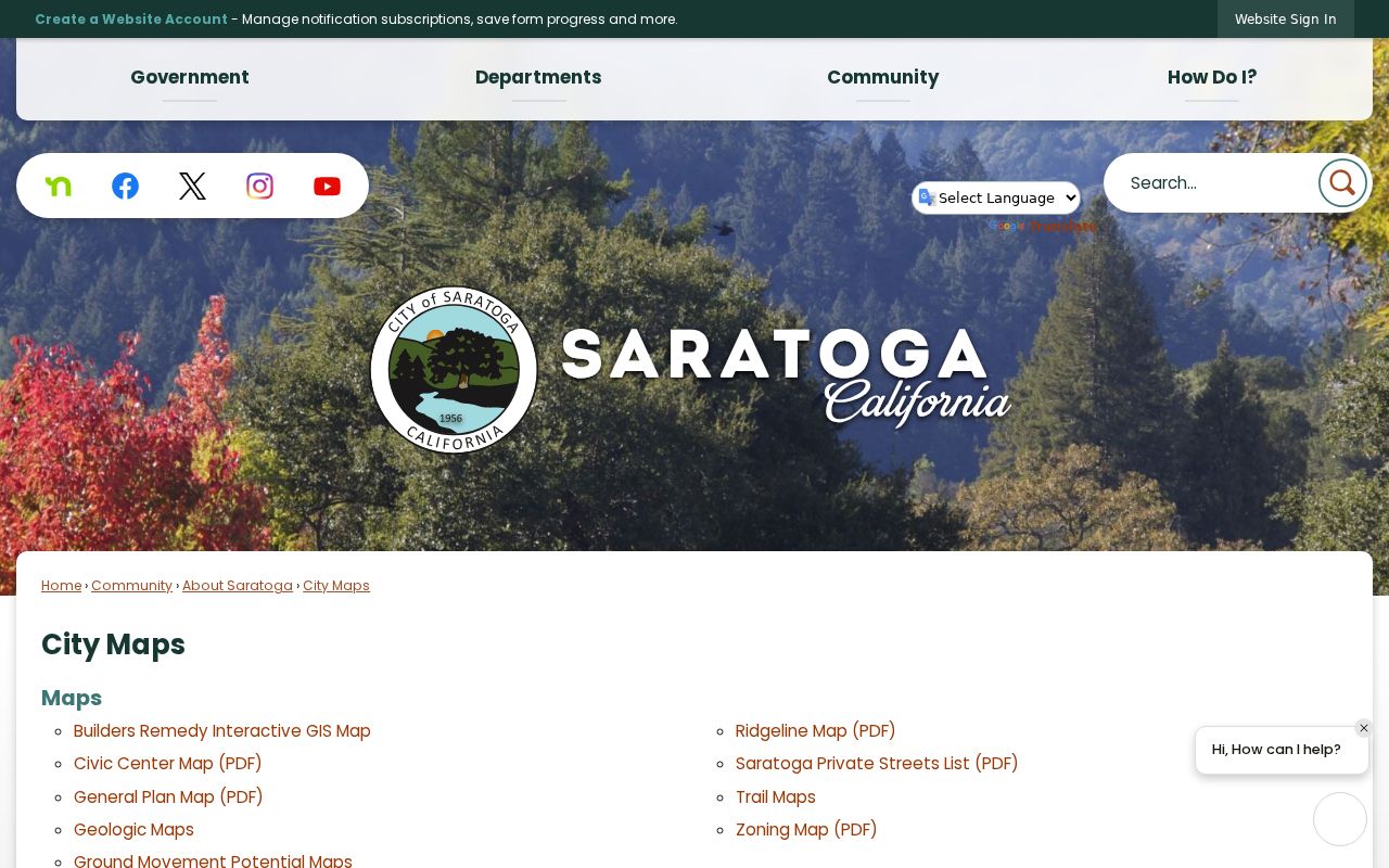
Use the Saratoga map layer to test city limits and parcel context, then use the Assessor’s physical-city field. Saratoga’s main street-delivery ZIP is 95070, while 95071 is used for Saratoga PO boxes. USPS validates a deliverable address; a postal city does not prove Saratoga incorporation.
Saratoga research did not verify a local street-renumbering year. Preserve the APN, tract, lot, block, and legal description when an old Saratoga street name or number does not align with current text.
Criss-Cross Clues in a Saratoga Street Directory
Saratoga Library’s Cunningham Collection, newspapers, yearbooks, and vertical files can add the household layer that deeds do not. Saratoga’s verified newspaper runs include the Saratoga Item from 1896-1899, Saratoga Star from 1917-1922, Saratoga Observer in 1958, and Saratoga Shopper from 1955-2015. Search Saratoga sources by street, subdivision, person, institution, and event rather than by name alone.
The SCCLD catalog identifies the Saratoga-useful Haines San Jose, Santa Clara County Criss-cross Directory, published by Haines and Company, Inc., and marked for in-library use. Its catalog note includes West Santa Clara City and Suburban coverage, but it does not list every annual volume or confirm Saratoga in each edition. Ask Saratoga Library at 408-867-6126 to confirm the exact volume, year, branch, and access rule. Saratoga’s historical collections themselves are handled on the Saratoga Directory Book page.
Transcribe a Saratoga street entry exactly, compare neighboring years, and corroborate a name with newspaper dates, vital records, permits, or the deed chain. A Saratoga directory disappearance can mean a move, death, omission, or a coverage change.
Limits on a Saratoga Street Directory
A Saratoga street directory can connect an address to parcel and title evidence, but it cannot supply a complete household list. The Saratoga Assessor web result hides owner and mailing fields. Saratoga GIS exports select parcels, not every person nearby. The Saratoga Recorder indexes parties and instruments, not addresses. Saratoga permit and heritage files describe projects or historic resources. DMV address data, utility accounts, delivery records, and protected residential information are not ordinary public layers.
California My Voter Status asks for a Saratoga voter’s first name, last name, date of birth, and last four digits of a California ID or SSN. Elections Code section 2194 restricts voter files to permitted election, scholarly, journalistic, political, and governmental uses. Saratoga’s County Registrar of Voters provides phone and in-person service, and special-purpose files require an authorized request. A Saratoga California Public Records Act request cannot override that confidentiality rule or Safe at Home protections.
Lawful use. Saratoga address research in Santa Clara County is appropriate for family history, civic context, and lawful property questions. Public availability is not permission to stalk, harass, threaten, or publish protected details; California Penal Code sections 646.9 and 422 address stalking and criminal threats.
When a Saratoga record seems wrong, contact the custodian that created it. When a record is protected, treat the absence as a legal boundary rather than a prompt to seek a workaround.